Printable · Loading price
United States Geography Charts
Printable U.S. geography charts with blank charts, name slips, and flag slips.
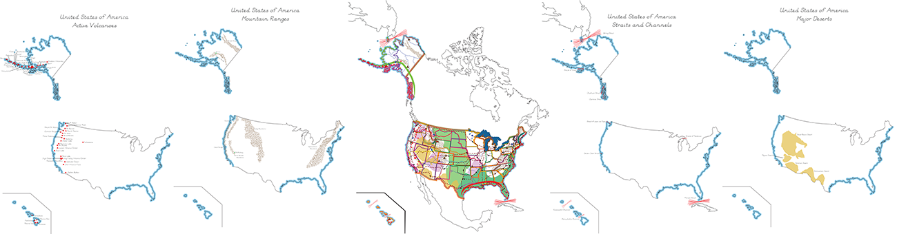
These charts have been created as a resource for students to explore the geography of the United States. The charts are delivered in PDF format and are sized for 16" x 20" paper.
The set of charts includes a spoken and blank chart, as well as name slips and flag slips for:
- Active Volcanoes
- Archipelagos
- Below Sea Level
- Bordering Nations
- Nation Capital
- Coastlines
- Gulfs
- Historic Trails
- Lakes
- Main Railroads
- Major Deserts
- Major Plateaus
- Major Rivers
- Main Mountain Ranges
- Alaskan Range
- Appalachian Mountains
- Brooks Range
- Cascade Range
- Coast Ranges
- Rocky Mountains
- Sierra Nevada
- Place in the World
- Plains
- Ports
- Seas
- State Flags
- Straits and Channels
- Inhabited US Territories
- US Territories
- Everything (all of the above)
We wish you many curious and engaged students.